
Shoreline Design Under BC’s Riparian Areas Regulation
If your property borders a stream, lake, or wetland in BC, provincial riparian rules can influence how close to the water you can build, plant, or grade. Here’s a general, homeowner-level overview of what the Riparian Areas Regulation is, why it exists, and how it typically shapes shoreline landscape design decisions in the Okanagan.
What the Riparian Areas Regulation Actually Covers
The Riparian Areas Regulation is a provincial framework aimed at protecting the streamside and lakeside vegetation that supports fish habitat. In general terms, it recognizes that the strip of land next to a watercourse — roots, overhanging shrubs, leaf litter, shade — does real ecological work, and that disturbing it can have downstream (sometimes literally) effects on water quality and fish populations. Local governments in BC are the ones who administer development near these areas, and RAR is one of the pieces they lean on when a property borders a regulated watercourse.
For a homeowner, the practical upshot is usually this: if your project involves grading, building, or significant vegetation removal within a certain distance of a stream, ditch-connected watercourse, or qualifying lake, your local government may require an assessment from a Qualified Environmental Professional (a QEP) before a permit is issued. That assessment looks at the site and determines what’s called a Streamside Protection and Enhancement Area, or SPEA — essentially a buffer where development is restricted or modified to protect habitat value. The exact width and requirements of that buffer are site-specific and are determined by the QEP and local government, not by a fixed number we can quote in the abstract.
This is a genuinely technical, jurisdiction-specific process, so we’re deliberately staying general here rather than citing exact distances or statute sections. The right first move on any waterfront property is confirming with your local government (and, where needed, a QEP) whether RAR applies to your specific lot and what the assessment process looks like for it.
How It Shapes Landscape Design Decisions
Where a riparian assessment does apply, it tends to influence a design in a few consistent ways. Hardscape — patios, retaining walls, paths — often gets pulled back from the water’s edge or reworked to reduce disturbed area and impervious surface near the buffer. Planting plans lean toward retaining or restoring native shoreline vegetation rather than replacing it with lawn or ornamental beds close to the water. Grading and drainage get more scrutiny, since altering how water moves across a riparian buffer is part of what the assessment is checking for. And timing can matter too, since some in-water or near-water work is restricted to windows that avoid sensitive fish periods.
None of this means a waterfront yard has to be left wild and untouched. It means the design has to work with the buffer rather than against it — usable outdoor living space set back appropriately, with the riparian fringe treated as a feature (and often a genuinely attractive one) rather than an obstacle. Good shoreline design finds the usable footprint that still respects what an assessment requires, instead of fighting it after the fact.
Where This Fits With Other Permits
RAR is provincial and habitat-focused, but it’s rarely the only approval a waterfront project touches. Local governments layer on their own shoreline setback and development permit area rules, and work below the natural boundary of a lake or river can also involve provincial or federal foreshore permitting. Strata and bare-land strata waterfront properties frequently add their own architectural guidelines on top of that. In practice, these processes overlap, and untangling which ones apply to a given lot is exactly the kind of coordination we help clients with as part of our permit and regulation handling service, working alongside the qualified professionals a project actually requires.
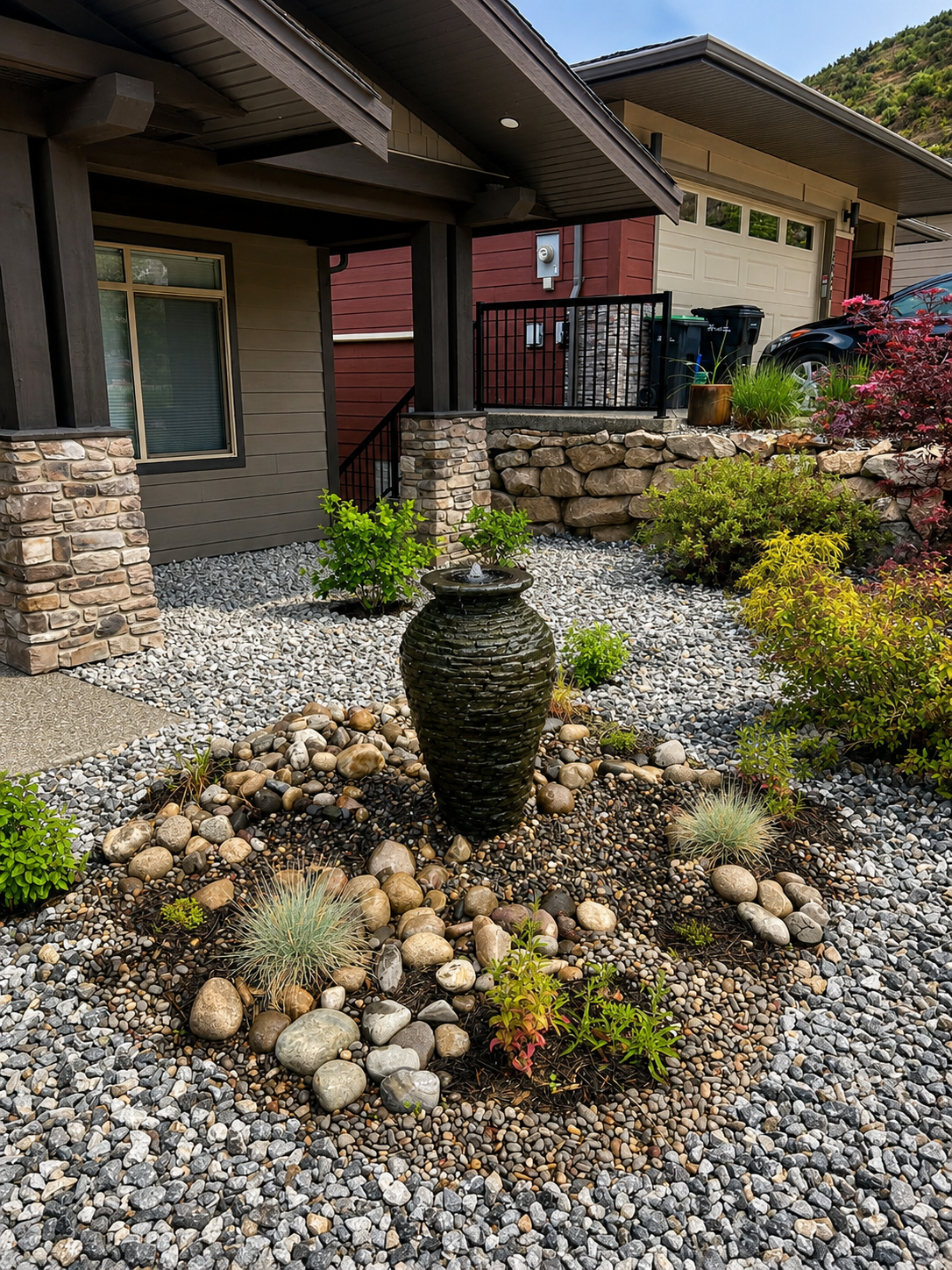
A custom water feature build by Kalagan Outdoor Design
Okanagan-Specific Factors for Water Features
Waterfront property around Okanagan, Kalamalka, and Wood Lake — along with the creeks and tributaries that feed them — is some of the most sought-after (and most tightly regulated) land in the region, and it draws attention from more than one authority at once. Local governments across the Okanagan Valley have their own shoreline development permit areas layered on top of provincial riparian rules, and lake levels here can fluctuate meaningfully season to season, which affects where a natural boundary is measured from and how a QEP assesses buffer condition. Steep lakefront lots common around Kalamalka Lake and parts of the Okanagan foreshore also mean grading and retaining wall decisions near the water get extra scrutiny, since slope stability and habitat protection concerns tend to overlap. Because of all this, we treat every Okanagan waterfront project as its own case: confirming early which regulatory layers apply before a design gets finalized, rather than assuming yesterday’s assumptions about setbacks hold for the lot in front of us.
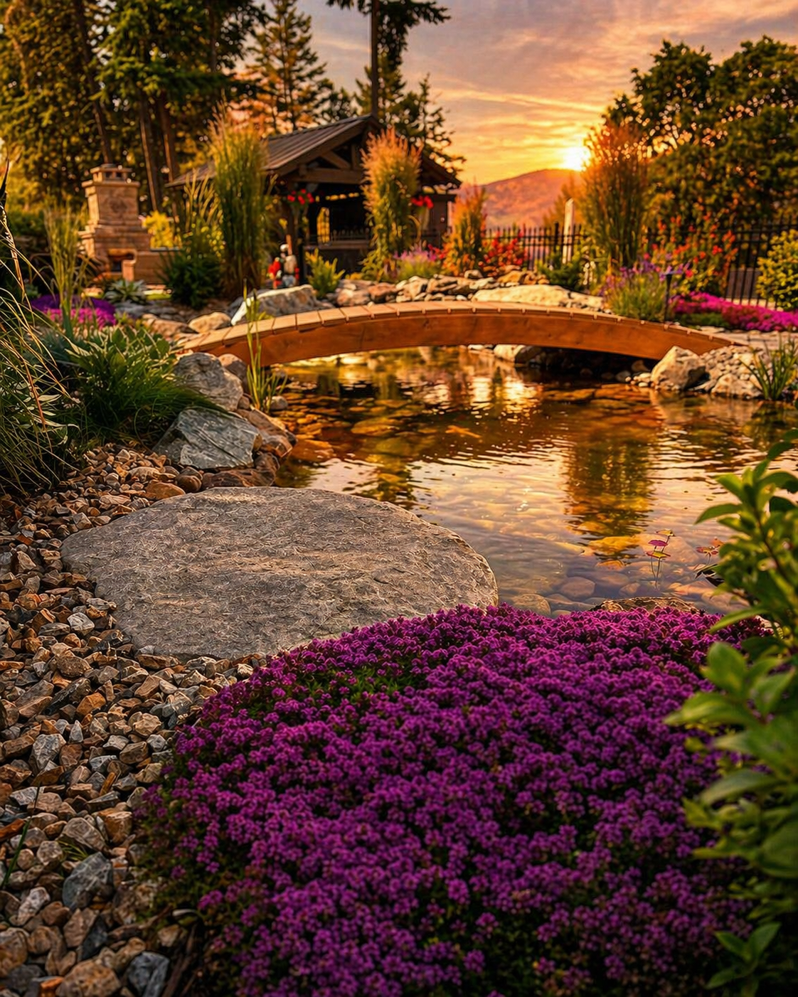
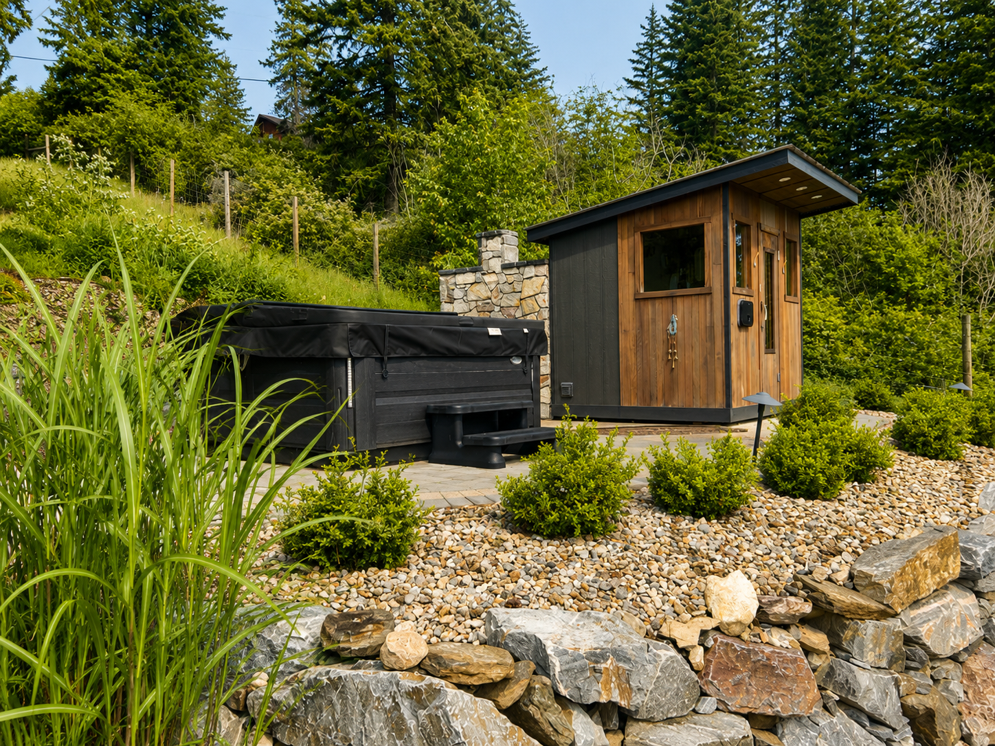
See Real Water Feature Projects
For the permitting process itself, see our overview of foreshore and shoreline permits. If your project involves a wall near the water, our waterfront walls page covers engineering and permit considerations specific to that work. And if you’re planning a broader lakefront project, our companion guides on landscape design on the Okanagan large lakes foreshore and wave-protection walls on Kalamalka Lake go deeper on design and structural questions this guide doesn’t cover.
Planning a Project on Waterfront Property?
Talk to us early, before a design is finalized, so we can help you understand which approvals apply to your lot and design around them from day one.
Book a Consultation →